Know what is happening in every field — before you can see it from the ground.
Agroscops reads satellite, weather, soil and vegetation signals for your exact fields and turns them into plain answers: which areas are stressed, what is likely causing it, and when to irrigate, spray or inspect. It is live today — add your farm and see its first assessment.
Farms do not fail suddenly. They send signals first.
Water stress, nutrient trouble and disease pressure change vegetation and soil behaviour days or weeks before symptoms are visible in the field. Agroscops watches those signals from satellite so you can act early — not after the damage is done.
It explains, not just maps
Instead of handing you a raw vegetation image, Agroscops tells you what the change likely means and what to check on the ground.
Early stress detection
Flags developing crop stress before it becomes visible, giving you time to respond while it is still cheap to fix.
Action timing
Tells you when it matters: when to inspect, when to irrigate, when to spray, and which zones to watch first.
From sign-up to field guidance in four steps.
No sensors to install, no data to upload. Agroscops works from your field boundary alone.
Six answers about every field, in plain language.
Each assessment covers the layers that actually drive farm decisions — not raw indices you have to interpret yourself.
Crop performance
Whether crops are growing well, becoming stressed, or recovering — and how that is changing over time.
Field timing
Better timing for irrigation, spraying and field work, based on current field condition.
Soil behaviour
How soil condition is affecting crop growth, water movement and field performance.
Root-zone condition
Whether conditions favour healthy root activity and natural soil life.
Early risk alerts
Warnings about developing crop stress before it becomes visible in the field.
Confidence level
Every assessment shows how reliable it is, so you know when to act immediately and when to verify first.
Your farm, from above — refreshed with every satellite pass.
Create an account, mark your field boundary on the map, and Agroscops starts building a live picture of your crop's condition — vegetation, soil, water and environmental layers, all for your own fields.
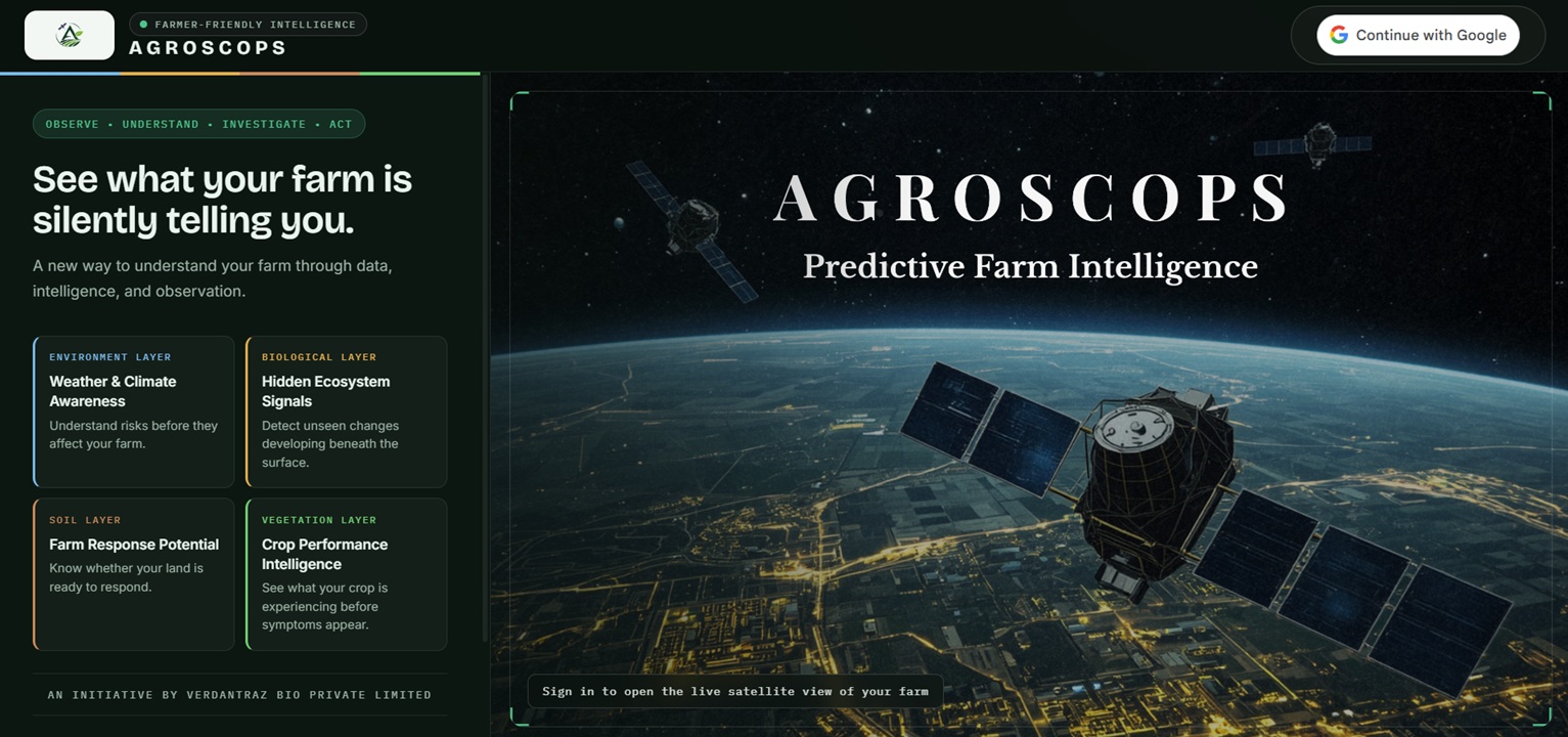
Every assessment comes with a confidence level.
Agroscops cross-checks several independent signals before it flags anything, and tells you how reliable each assessment is. When signals agree, you can act. When they don't, it says so — instead of guessing.
Questions Agroscops answers
- Is this field healthy, stressed or recovering?
- Which areas need attention first?
- Is this the right time to irrigate, spray or inspect?
- Is risk developing before symptoms are visible?
- How confident is this assessment?
Built for everyone who makes — or backs — farm decisions.
The same field-level intelligence serves the people working the farm and the people financing, advising and insuring it.
Farmers & FPOs
A clear view of field condition, developing risks and the right timing for important operations.
Agronomists & advisors
A structured intelligence layer to prioritize field visits, support diagnosis and back up recommendations.
Banks, credit & insurance providers
Field-level condition and risk visibility to support crop-loan appraisal, portfolio monitoring and insurance assessment — without a farm visit.
Institutions & trials
Ongoing monitoring of demonstration farms, validation plots and resilience programs.
Agri-input partners
Visibility into where interventions are needed and whether farms are responding over time.
Climate, water & MRV programs
A pathway for monitoring water behaviour, farm recovery, resource efficiency and sustainability outcomes.
One company. An intelligence ecosystem.

Verdantraz Bio Private Limited is an Indian deep-technology company building science-driven solutions for agriculture, environmental sustainability and climate intelligence. Rather than isolated products, Verdantraz develops connected intelligence platforms that turn complex scientific data into practical decisions for farmers, researchers, industries and governments.
Verdantraz Technologies, its innovation and digital engineering division, designs decision-support systems that combine satellite observation, weather models, environmental science and artificial intelligence. Its flagship platform is AGROSCOPS™.
AGROSCOPS™
Satellite intelligence, weather fusion, environmental monitoring and AI-powered farm decision support.
Visit site →Verdantraz Climate
Helping organisations understand emissions, sustainability performance, environmental reporting and future climate risk.
Visit site →ECOVETZ™
Developing sustainable technologies that improve soil health, nutrient efficiency and long-term agricultural productivity.
VOZUNIX™
Researching advanced solutions to improve nutrient availability, water efficiency and plant resilience.
Why Verdantraz exists
Agriculture faces increasing uncertainty from climate variability, soil degradation, water stress and fragmented data. Verdantraz was created to bring these disconnected signals together into one trusted intelligence ecosystem — so people can make faster, better and more confident decisions.
Our vision
To build one of the world's most trusted environmental intelligence companies — connecting satellite science, biology, climate intelligence and artificial intelligence in support of agriculture and environmental sustainability.
Partner with AGROSCOPS™
Transform agricultural data into confident decisions.
Whether you're a research institution, plantation company, government agency, FPO, bank or agribusiness, AGROSCOPS helps you monitor farms remotely, prioritise field activities, strengthen sustainability initiatives and make better-informed operational decisions through satellite-powered agricultural intelligence.